Canada
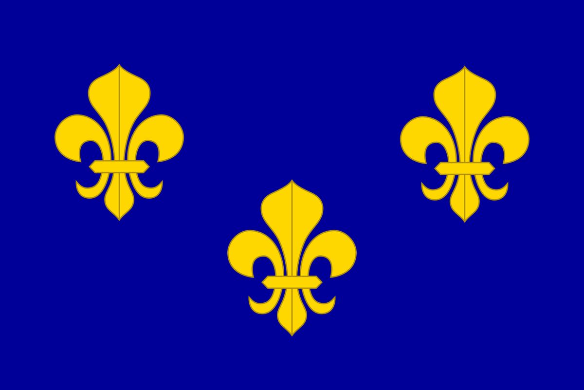
Canada was a French colony within New France, claimed by France in 1534 and remaining a French territory until 1763. The first official settlement was Québec, founded by Samuel de Champlain in 1608. Canada was the most developed of the five colonies of New France and was divided into three districts: Québec, Trois-Rivières, and Montreal. Its territory expanded through exploration, at its peak encompassing lands that would become southern Ontario, southern Manitoba, and parts of the American Midwest. The colony's legacy is foundational to modern Quebec, shaping its language, civil law, and distinct cultural identity within Canada.
Origins and establishment
The origins of the colony trace back to the first voyage of Jacques Cartier in 1534, who claimed the territory for King Francis I of France. During his second voyage in 1535, Cartier heard and recorded the Iroquoian word 'kanata,' meaning village, which later became the name for the colony. For decades, French activity was limited to seasonal trading posts, such as the one established at Tadoussac in 1600 at the confluence of the Saguenay and Saint Lawrence rivers, which operated under a trade monopoly and was not an official colonial settlement. The first official and permanent settlement was founded by Samuel de Champlain in 1608 at a strategic narrows on the Saint Lawrence River, which he named Québec. In the 16th century, the word Canada could refer to the territory along the Saint Lawrence River from Grosse Isle to a point between Québec and Trois-Rivières. The terms Canada and New France were often used interchangeably during this period.
Colonial administration and structure
The colony of Canada was one of five constituent colonies of the larger territory known as New France, alongside Hudson's Bay to the north, Acadia and Newfoundland to the east, and Louisiana far to the south. It was divided into three districts, Québec, Trois-Rivières, and Montreal, each with its own government. The governor of the District of Quebec also served as the governor-general for all of New France, providing centralized oversight from the capital. While the colonies were ruled by a monarchy, residents of Quebec City, Montreal and Trois-Rivières elected syndics, or trustees, to a colonial council responsible to the governor to act as liaisons, though these officials had no power to affect policy. This centralized structure persisted until the end of French rule. The other four colonies within New France had their own distinct administrations but fell under the broader authority of New France.
Territorial expansion and key outposts
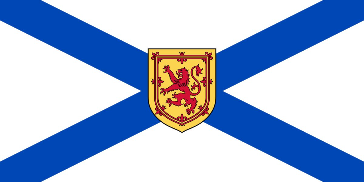
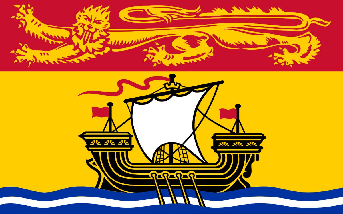
The territory of Canada evolved significantly over more than two centuries of French exploration and settlement. There are three major periods of expansion, mostly as a result of exploration efforts. First, the 1534 to 1603 period, in which Canada's territory comprised the coasts of Newfoundland, the entirety of St John's Island, the Saint Lawrence River and the Gulf of Saint Lawrence, and lands that later became Nova Scotia and the coasts of New Brunswick. Then 1603 to 1673, in which, due to westward expansion and conflicts with Great Britain, Canada's territory was composed of the coasts of the Saint Lawrence River, of the Gulf of Saint Lawrence and of the Great Lakes, as well as lands that later became southern Ontario and northern New England. Then, in the last period of 1673 to 1741, Canada's territory was composed of the coasts of the Saint Lawrence River, of the Gulf of Saint Lawrence and of the Great Lakes, and lands that later became southern Ontario, southern Manitoba, the north-eastern US Midwest, and part of the Upland South. It was in this period that Canada was at its largest.
Dependent on Canada were the Pays d'en Haut (upper countries), a vast territory north and west of Montreal, covering the whole of the Great Lakes and stretching as far into the North American continent as the French had explored. Before 1717, when it ceded territory to the new colony of Louisiana, it stretched as far south as the Illinois Country. In the Great Lakes area, a mission, Sainte-Marie among the Hurons, was established in 1639. Following the destruction of the Huron homeland in 1649 by the Iroquois, the French destroyed the mission themselves and left the area. Key French forts and trading posts established in the Pays d'en Haut and surrounding regions included Fort Frontenac (1673) at present-day Kingston, Ontario, Fort Kaministiquia (1679) at modern Thunder Bay, Ontario, and Fort Saint Pierre (1731) near modern Fort Frances, Ontario. Other posts in what are today Ontario and the eastern prairies included Fort Saint Charles (1732) on Lake of the Woods and the mission and trading post at Sault Ste. Marie (1688).
- Fort Niagara (1678) near modern Youngstown, New York.
- Fort Crevecoeur (1680) near present-day Creve Coeur, Illinois.
- Fort Saint Antoine (1686) on Lake Pepin in Wisconsin.
- Fort St. Joseph (1691) on the southernmost point of St. Joseph Island, Ontario on Lake Huron.
- Fort Pontchartrain du Détroit (1701), the foundation of Detroit, Michigan.
- Fort Michilimackinac (1715) on the Straits of Mackinac at Mackinaw City, Michigan.
- Fort Miami (1715) at modern Fort Wayne, Indiana.
- Fort La Baye (1717) at modern Green Bay, Wisconsin.
- Fort Beauharnois (1727) in Florence Township, Goodhue County, Minnesota.
- Fort Rouillé (1750) on the site of present-day Toronto, Ontario.
The Domaine du roy, established in 1652, was a vast region of New France, which stretched north from the St. Lawrence River to Hudson Bay. It was located between the eastern limit of the seigneurie of Les Éboulements and Cape Cormorant. The territory had an area of more than 460,000 square kilometres. After the Conquest of New France, the territory's name was changed to Rupert's Land. The French marked the North American continent in many ways over 240 years, through land distribution, the establishment of villages and towns, and deploying a network of roads and paths.
Population, society and Indigenous context
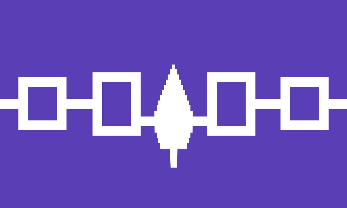
A population survey was done in 1740 to estimate Canada's population. The survey of the Saint Lawrence River valley counted about 44,000 colonists in total. The majority of them were born in Canada and lived in a rural environment. Of the colonists, 18,000 lived under the Government of Québec, 4,000 under the Government of Trois-Rivières and 22,000 under the Government of Montreal. As for colonists not living in the Saint Lawrence River valley, Île Royale (now Cape Breton) counted 4,000 inhabitants (of which 1,500 were in the fortress of Louisbourg), and Île Saint-Jean (now Prince Edward Island) had 500 inhabitants. Colonial society was shaped by the seigneurial system of land distribution, the Catholic Church, and the fur trade. The fur trade relied heavily on Indigenous technology and knowledge to become a vast commercial enterprise across what is now Canada from the early 17th to the mid-19th centuries. Indigenous populations in the territories claimed by France at the time of contact are estimated to have ranged from 200,000 to 500,000 people, with between 300 and 450 languages spoken across diverse nations with their own governance structures. This colonial society interacted with complex Indigenous political structures, including the Haudenosaunee (Iroquois) Confederacy, formed by five nations, and the Mi'kmaq council governed by a grand chief who ruled by consensus. The Huron-Wendat determined civil and war-related affairs through respective village councils that reached decisions by consensus.
The Seven Years' War and the end of French rule
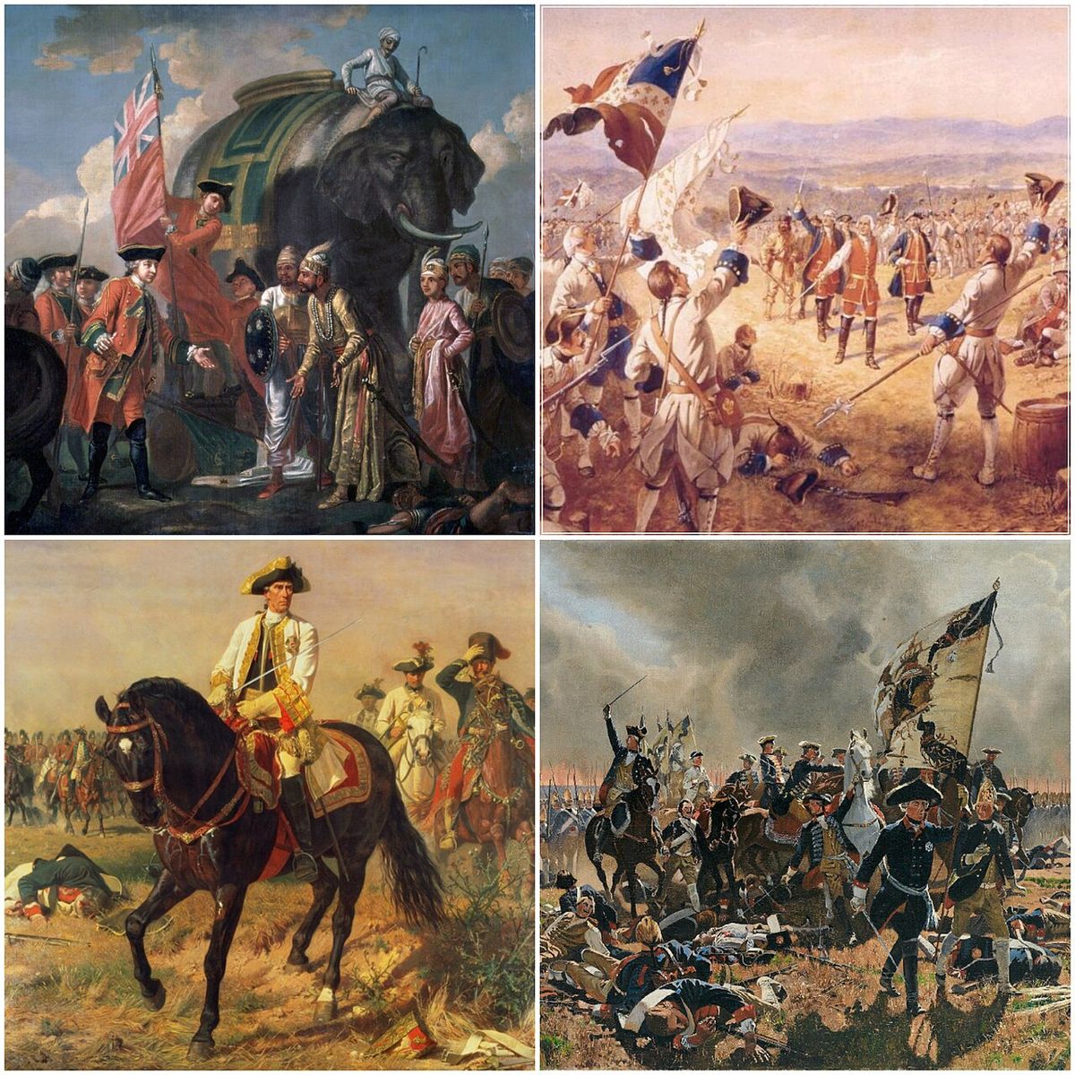
The Seven Years' War of 1756 to 1763 was a global conflict that determined the fate of French Canada. It saw Great Britain defeat the French and their allies, and take possession of Canada. The war pitted Great Britain and its allies against France, with significant fighting occurring in North America leading to the British conquest of New France. In the Treaty of Paris of 1763, which formally ended the Seven Years' War, France ceded Canada in exchange for other colonies, with a large portion of Canada becoming the British colony of the Province of Quebec. This transition marked a deep political and cultural shift for its predominantly French-speaking Catholic inhabitants. It set the stage for over two centuries of British rule and the eventual development of modern Canada, beginning with the division of the Province of Quebec into Lower and Upper Canada in 1791 as part of a new colonial policy under the Constitutional Act.
Political successors and cultural legacy
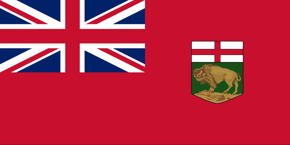
In 1791, the Province of Quebec was separated into Lower Canada (now Quebec) and Upper Canada (now Ontario) under the Constitutional Act. Lower Canada and Upper Canada were fused into the Province of Canada in 1841, before separating again into the modern-day provinces of Quebec and Ontario during the Confederation of Canada in 1867, which created the Dominion of Canada. Because of the historical and geographical continuity, as well as the continued use of the French language, civil law, customs, cultural aspects and the ruling power of the Catholic Church in government until the Quiet Revolution of the 1960s, the province of Quebec is considered by many to be the modern-day continuation of the Canada colony of New France. Still today, the majority of the Quebec population is descended from the original French-speaking Canadien of Canada, and the cultural distinctiveness of Quebec from the rest of the country has led to the emergence of a Québécois identity and the Quebec sovereignty movement. Descendants of the original Canadien of Canada (New France) living outside of Quebec are now often referred to by a name which references their province of residence, such as Franco-Ontarian. Francophone populations in the Maritime provinces, however, are more likely to be descended from the settlers of the French colony of Acadia. They are therefore called Acadians. The political evolution from colony to province was gradual and defined by British colonial policy.
Commemoration and historical study
The history of the colony of Canada is a foundational pillar of the Canadian national story and is actively studied and commemorated through academic institutions and public programming. It represents the country's French colonial origins and the deep roots of Francophone culture in North America, a subject of ongoing research within the field of Canadian history. The era is a major subject of academic inquiry, with historical societies like the Canadian Historical Association hosting annual meetings where historians share research on themes representing the full diversity of the discipline, including colonial history. Public history initiatives, such as the Dawson Trail Arts and Heritage Tour, demonstrate models for community-led heritage programming and collaboration that leave an economic, cultural, and educational legacy. National celebrations like Canada Day on July 1, which marks the 1867 Confederation and was first known as Dominion Day before being renamed in 1982, exist in a direct historical lineage from the earlier colonial period. The colony is also remembered in the context of former colonies and territories in Canada, the Illinois Country, and the monarchs of Canadian territories.
Comparative territorial evolution
The territorial claims of the colony of Canada can be understood through three major periods of expansion. These expansions were mostly a result of exploration efforts. In the first period from 1534 to 1603, Canada's territory comprised the coasts of Newfoundland, the entirety of St John's Island, the Saint Lawrence River and Gulf, and lands that later became Nova Scotia and the coasts of New Brunswick. In the second period from 1603 to 1673, Canada's territory included the coasts of the Saint Lawrence River, the Gulf of Saint Lawrence and the Great Lakes, as well as lands that later became southern Ontario and northern New England. In the last period from 1673 to 1741, Canada's territory was composed of the coasts of the Saint Lawrence River, the Gulf of Saint Lawrence and the Great Lakes, and lands that later became southern Ontario, southern Manitoba, the north-eastern US Midwest, and part of the Upland South. It was in this period that Canada was at its largest.
| Period | Primary Regions Encompassed |
|---|---|
| 1534 to 1603 | Coasts of Newfoundland, St John's Island, Saint Lawrence River & Gulf, lands of future Nova Scotia & New Brunswick coasts. |
| 1603 to 1673 | Coasts of Saint Lawrence River & Gulf, Great Lakes region, lands of future southern Ontario & northern New England. |
| 1673 to 1741 (Peak) | Coasts of Saint Lawrence River & Gulf, Great Lakes region, lands of future southern Ontario, southern Manitoba, northeastern US Midwest, part of Upland South. |
This territorial evolution was not merely cartographic but involved sustained interaction with numerous Indigenous nations. For example, civil and war-related affairs among the Huron-Wendat were determined by respective village councils, and decisions were reached by consensus. In the 240 years between Verrazano's voyage in 1524 and the Conquest of New France in 1763, the French marked the continent through land distribution and clearing, the establishment of villages and towns, and deploying a network of roads and paths. The French colonists transformed and adapted the environments according to their needs. This created a lasting imprint on the map of Canada that preceded the territorial evolution of Canada after 1867. The colony's history is connected to the timeline of Quebec history and the broader territorial evolution of Canadian territories after Confederation.
Questions about Canada
What was the Pays d'en Haut?
The Pays d'en Haut was a vast dependent territory of Canada, north and west of Montreal. It covered the Great Lakes region and stretched into the continental interior. Before 1717, it included the Illinois Country. It contained a network of crucial trading posts and forts like Fort Michilimackinac and Fort Detroit.
Who were the key figures in the founding and governance of Canada?
Jacques Cartier claimed the territory for France in 1534. Samuel de Champlain founded Québec in 1608. Paul de Chomedey de Maisonneuve founded Ville-Marie (Montreal). Governance was split between the governors of the districts of Québec, Trois-Rivières, and Montreal, with the Governor of Quebec also serving as governor-general of New France.
How did the colony of Canada end?
The French colony of Canada ended following Great Britain's victory in the global Seven Years' War, which lasted from 1756 to 1763. The conflict's conclusion was formalized in the Treaty of Paris of 1763. In this treaty, France ceded Canada to Great Britain in exchange for other colonial possessions. The majority of the former colony's territory was then reorganized into the British Province of Quebec.
What is the connection between the colony of Canada and modern Quebec?
The modern province of Quebec is considered the direct successor to the French colony of Canada due to strong historical and cultural continuity. This includes the geographical core of the original colony along the Saint Lawrence River and the continued use of the French language and civil law. The majority of Quebec's population is descended from the original French-speaking Canadiens of that colony. This distinct heritage from the New France era forms the foundation for Quebec's unique identity and institutions within Canada today.
What was the first official French settlement in Canada?
The first official French settlement in Canada was Québec, founded by Samuel de Champlain in 1608. This settlement became the base of the colony, which was the most developed of the five colonies within New France. The colony of Canada was later divided into three administrative districts: Québec, Trois-Rivières, and Montreal. The governor of the District of Quebec also served as the governor-general for all of New France, centralizing authority.
How large was the population of the colony of Canada in 1740?
A population survey in 1740 estimated about 44,000 colonists lived in the Saint Lawrence River valley. Of these, 18,000 lived under the Government of Québec, 4,000 under the Government of Trois-Rivières, and 22,000 under the Government of Montreal. The majority were born in Canada and lived in a rural environment. Outside this valley, Île Royale had 4,000 inhabitants and Île Saint-Jean had 500, showing the concentrated development along the Saint Lawrence.
Sources and further reading
- Canada (Wikipedia)
- Significant Events in Canadian History (thecanadianencyclopedia.ca)
- Canada's History, Canada's History (canadashistory.ca)
Checked by the Nosy Mag desk. Last updated 2026-10-22.