Northern Canada
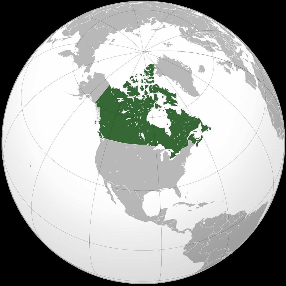
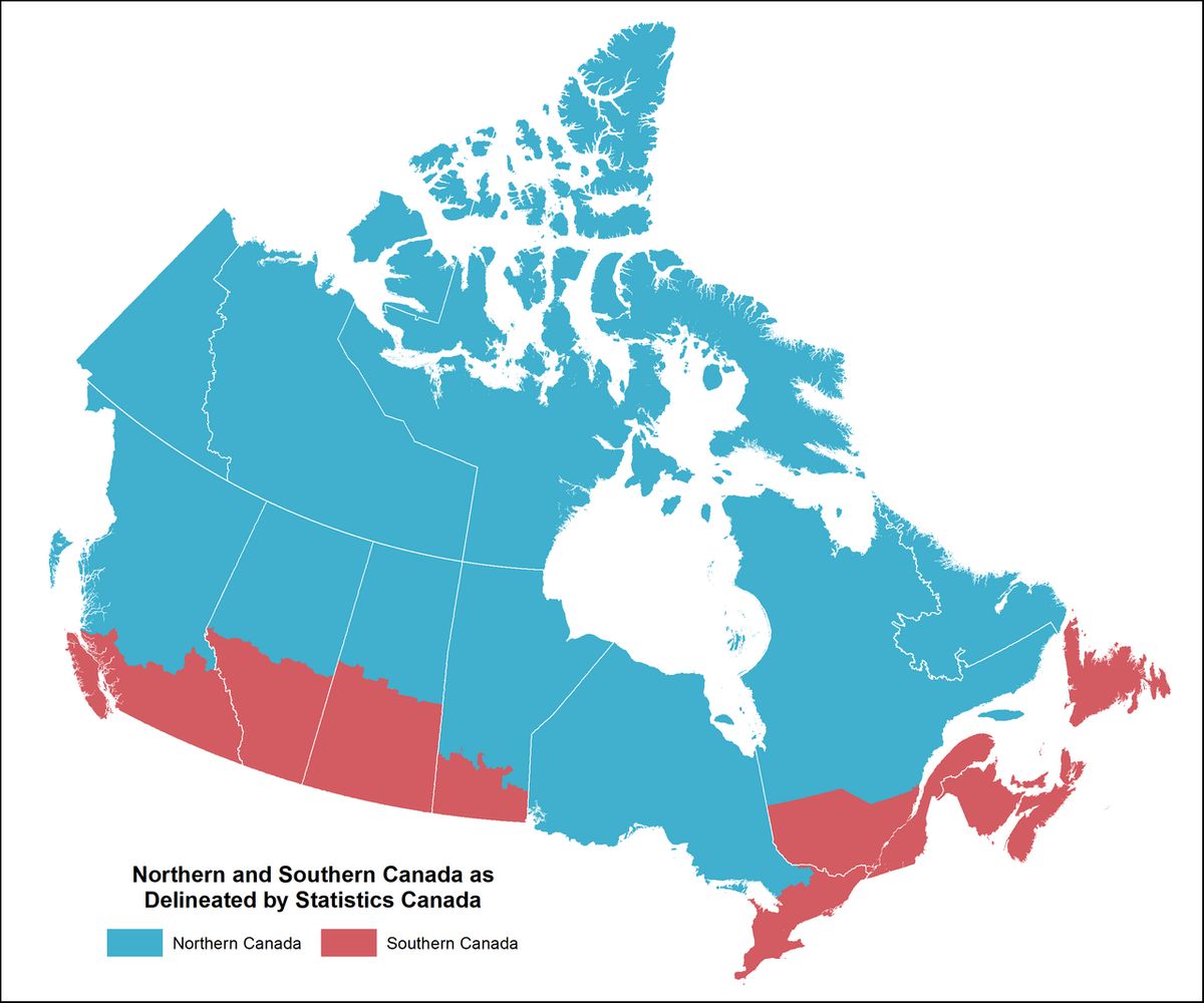
Northern Canada, often referred to simply as the North, is the vast northernmost region of the country, defined politically by the three territories of Yukon, Northwest Territories, and Nunavut. This immense area encompasses nearly 48 per cent of Canada's total landmass but is home to less than 0.5 per cent of its population. The region holds significant natural resources, distinct Indigenous cultures, and unique governance structures. Its importance extends to issues of sovereignty, climate change, and the relationship between Canada and its northern peoples.
Geographic and Cultural Definitions
The concept of Northern Canada is defined both by political boundaries and by geographic and cultural characteristics. Politically, it is synonymous with Canada's three territories. From a geographical and social perspective, the North is commonly divided into two major subregions: the near north and the far north. The near north, largely corresponding to the boreal forest or subarctic region, experiences a colder but forested climate and has a longer history of non-Indigenous settlement and resource extraction. This area includes not only parts of the territories but also the northern reaches of several provinces, such as Quebec, Ontario, and the Prairie provinces. The far north, located above the tree line, is characterized by tundra, permafrost, and an Arctic climate, and is the traditional homeland of the Inuit peoples. The distinction in environment has led to vastly different histories, economies, and ways of life between the two regions.
The region's human history is deeply tied to Indigenous peoples and European colonial expansion. The near north was the heart of the North American fur trade, falling under the nominal control of the Hudson's Bay Company's Rupert's Land from 1670. The Canadian government purchased this vast claim in 1869, renaming it the Northwest Territories. The far north was claimed by Britain as the British Arctic Territories and was transferred to Canada in 1880. Effective Canadian sovereignty through the Royal Canadian Mounted Police was not established in the far north until the early 20th century. Unlike the south, much of the far north was not subject to historic treaties, leading to modern land claim agreements and the creation of Nunavut in 1999 as a self-governing territory for the Inuit.
Demographics and Major Centres
Northern Canada is one of the most sparsely populated regions on Earth, with a population density of just 0.03 persons per square kilometre as of 2021. The total population across the three territories was 118,160 at that time, a figure that surpassed 100,000 for the first time in the 2006 census. The demographic profile of the North is distinct from the rest of Canada, with Indigenous peoples forming a majority in the region. According to 2016 data, 53.3 per cent of the territorial population identified as Indigenous, comprising First Nations, Métis, and Inuit. This proportion varies greatly by territory, from 23.3 per cent in Yukon to 50.7 per cent in the Northwest Territories and 85.9 per cent in Nunavut. The Inuit are the largest group of Indigenous peoples in Northern Canada, and 53.0 per cent of all Canada's Inuit live in the region, with Nunavut accounting for 46.4 per cent.
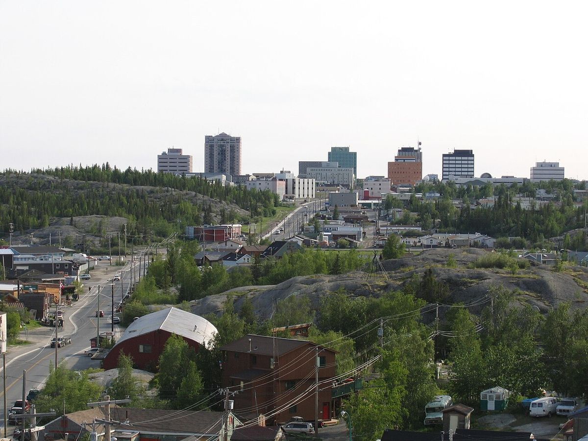
Despite its small population, the region contains growing urban centres that serve as territorial capitals and economic hubs. Whitehorse, the capital of Yukon, is the largest settlement in the North with a 2021 population of 28,201. Yellowknife, capital of the Northwest Territories, follows with 20,340 residents and has become a centre for diamond mining. Iqaluit, the capital of Nunavut, is the easternmost capital with 7,429 inhabitants. The economy is heavily reliant on resource extraction, including mining and oil and gas, and is supported by significant public sector employment and federal transfers. The high cost of living, driven by the expense of transporting goods, remains a persistent challenge for northern residents. GDP per person in the territories is higher than the national average, but this is offset by the extremely high cost of most consumer goods.
Physical Geography and Climate
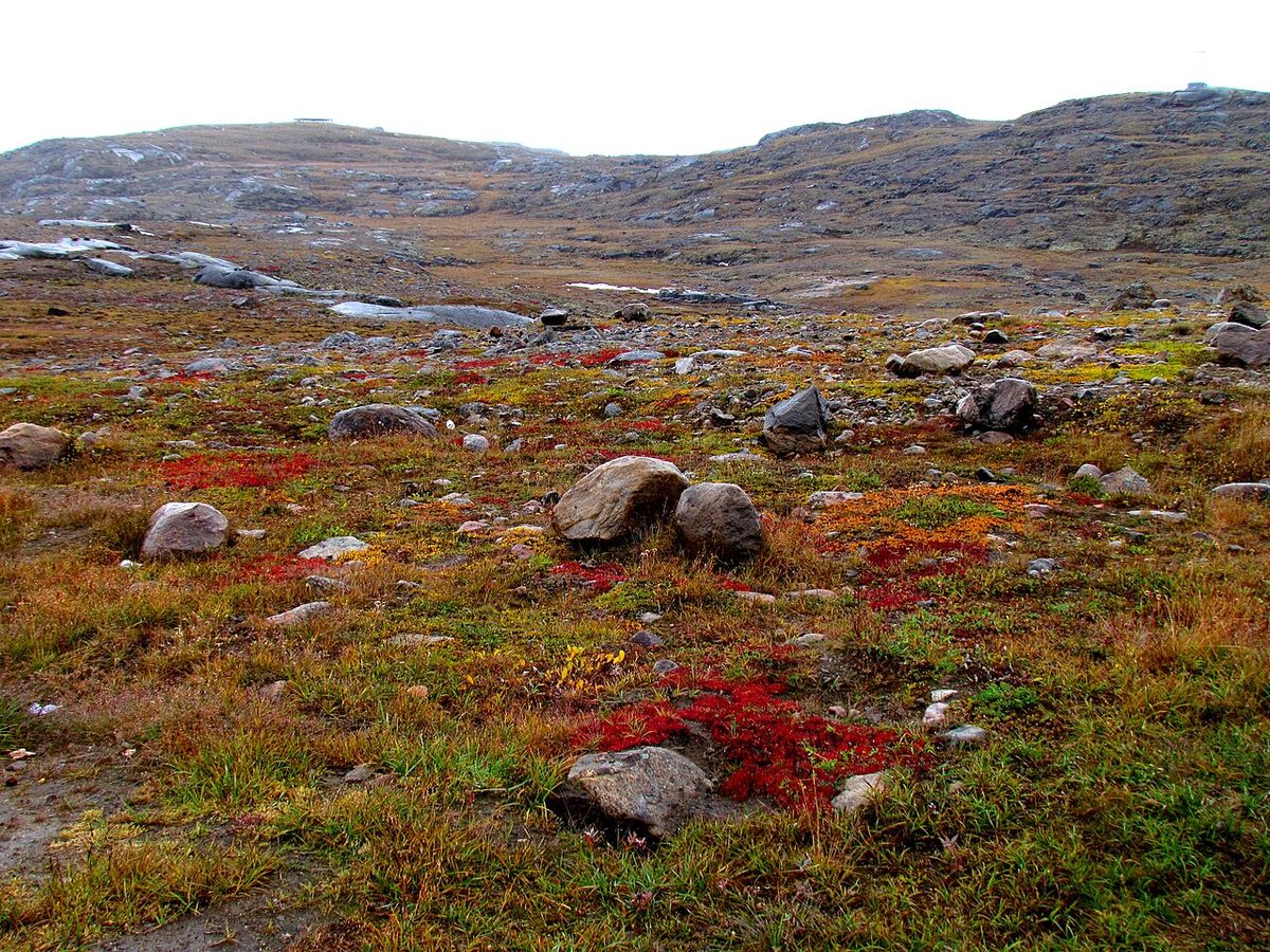
The physical geography of Northern Canada is dominated by the Canadian Shield, vast tundra plains, mountain ranges, and the islands of the Arctic Archipelago. A defining feature is the tree line, which separates the boreal forest of the near north from the treeless tundra of the far north. The region contains significant water systems, most notably the Arctic watershed. This massive drainage basin, which includes Great Bear Lake, Great Slave Lake, and the Mackenzie River system, channels freshwater from much of the mainland North into the Arctic Ocean. The ground throughout much of the region is underlain by continuous or discontinuous permafrost, which presents major challenges for construction and infrastructure development. The climate is predominantly subarctic in the mainland near north, shifting to tundra and ice cap climates in the Arctic islands and coasts.
Winters are extremely long and cold, with mean temperatures often remaining below freezing from October to May and frequently dropping below -40°C. Summers are short and cool, with average temperatures below 7°C, though they can occasionally exceed 18°C. Precipitation is generally low, with most falling as snow. The region is experiencing pronounced effects of climate change, including a reduction in sea ice cover, increased precipitation, warming temperatures, and more intense storms. Sea ice cover in the Canadian Arctic Archipelago decreased by 2.9 per cent per decade from 1968 to 2008, while the decrease in Hudson Bay was 11.3 per cent per decade. These changes have significant implications for ecosystems, Indigenous ways of life, and economic activity. The annual precipitation as well as the ratio of snow to rain have increased since 1950.
Political Structure and Sovereignty
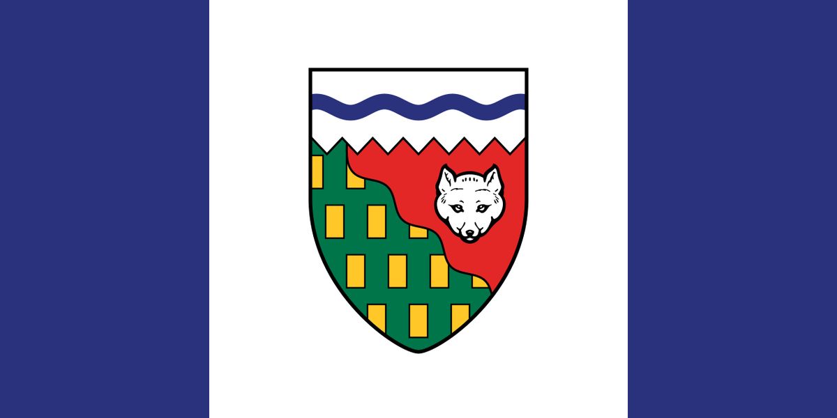
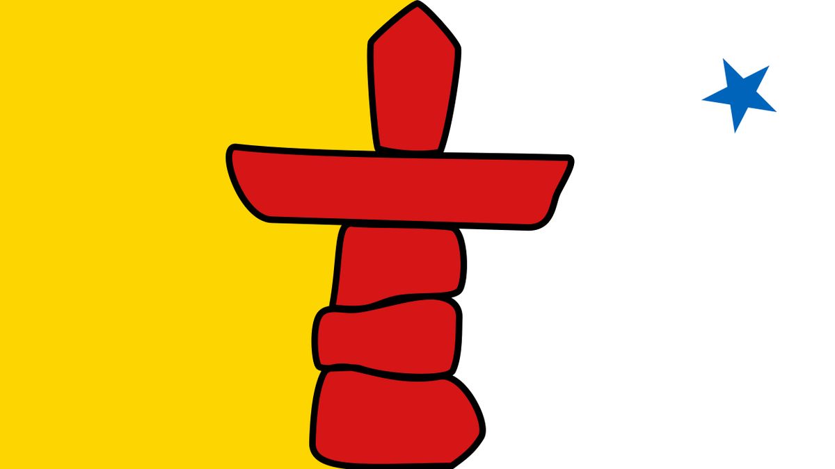
Politically, Northern Canada is represented in the federal Parliament by three Members of Parliament in the House of Commons and three Senators, with each territory holding one seat in each chamber. As of recent developments, all three northern MPs in the Commons are members of the Liberal Party. Each territory has its own legislative assembly and government, with devolved powers over many local matters, though they ultimately remain under the constitutional authority of the federal government. The creation of Nunavut in 1999 through a land claim agreement marked a major development, establishing a public government with a majority Inuit population and incorporating principles of Inuit Qaujimajatuqangit, or traditional knowledge, into its governance. Canadian sovereignty in the Arctic is a matter of ongoing national and international importance.
Canada claims all islands in the Arctic Archipelago and the waters between them as internal waters, a position linked to the sector principle which projects sovereignty northward to the North Pole between 60°W and 141°W longitude. This claim, particularly regarding control of the Northwest Passage, is disputed by other nations, including the United States, which views the passage as an international strait. With climate change increasing navigability in the Arctic, these sovereignty and security issues are gaining prominence. Canada maintains a presence through the Canadian Rangers, scientific research, and cooperation with other Arctic states through forums like the Arctic Council. Denmark, Russia, and Norway have made claims similar to those of Canada in the Arctic and are opposed by the European Union and the United States.
Key Historical Developments
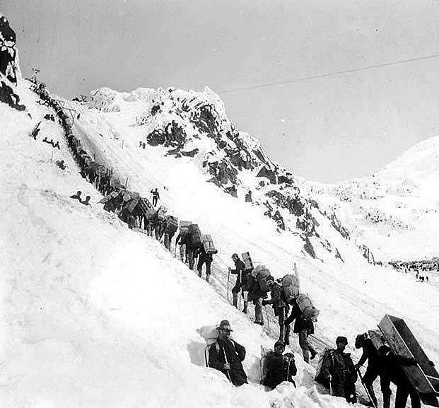
The history of Northern Canada is marked by Indigenous habitation, European exploration, resource booms, and political evolution. The following timeline outlines several important events. In 1670, King Charles II granted a charter to the Hudson's Bay Company, creating Rupert's Land, which laid a British claim over much of the continental near north. The Canadian government purchased Rupert's Land from the HBC in 1869, renaming the area the Northwest Territories. Britain transferred the British Arctic Territories, the Arctic Archipelago, to Canada in 1880. The Klondike Gold Rush from 1896 to 1899 brought a surge of prospectors and settlers to the Yukon region. In 1898, the Yukon Territory was created, separate from the Northwest Territories, in response to the gold rush population influx.
- Early 20th Century: The RCMP establishes detachments across the far north, effectively enforcing Canadian sovereignty.
- 1982: A referendum is held to decide on splitting the Northwest Territories.
- 1992: The Nunavut creation referendum is held, receiving majority support in the eastern Arctic.
- 1999: The territory of Nunavut is officially established on April 1, following the Nunavut Land Claims Agreement.
In the late 19th and early 20th centuries, Canada reduced the size of the Northwest Territories by carving new provinces out of it. Alberta, Saskatchewan, and Manitoba were created, together with the new territory of the Yukon. Other parts of the Northwest Territories were transferred to Ontario and Quebec. The Inuit were not part of the early 20th century treaty process, and aboriginal title to the land has been acknowledged by the Canadian government with the creation of autonomous territories.
Economy and Natural Resources
The economy of Northern Canada has historically been driven by the extraction of non-renewable resources, a trend that continues today. The fur trade dominated the early colonial economy, giving way to mining booms for gold, as seen in the Klondike, and later for base metals like lead, zinc, and copper. In the contemporary era, diamond mining has become a major industry, particularly in the Northwest Territories, making Canada one of the world's top diamond producers. Oil and gas exploration, particularly in the Beaufort Sea and the Arctic islands, has also played a significant role, though it is subject to market fluctuations and environmental concerns. Renewable resources, such as fisheries and hydroelectric potential, are present but underdeveloped relative to the south.
Beyond resource extraction, the public sector is a major employer, encompassing territorial, federal, and municipal governments. Tourism is a growing industry, attracting visitors with opportunities for wildlife viewing, aurora borealis sightings, and adventure travel. However, the northern economy faces persistent structural challenges. The high costs of transportation, energy, and construction, coupled with a small and dispersed population, hinder diversified economic growth. Consequently, the territories rely heavily on federal transfer payments to fund public services and infrastructure, making them unique within the Canadian federation. The region is heavily endowed with natural resources, but in most cases they are very expensive to extract and situated in fragile environmental areas.
Population of Territorial Capitals (2021 Census)
The territorial capitals are not only the administrative centres but also the largest population hubs in their respective regions. The following table shows their populations from the most recent census data. Whitehorse, Yukon, leads with 28,201 residents, followed by Yellowknife in the Northwest Territories with 20,340, and Iqaluit, Nunavut, with 7,429. These cities serve as critical gateways for transportation, healthcare, education, and government services for the wider territorial populations. Their growth, though modest, reflects ongoing urbanization trends within the region.
| Capital City | Territory | Population (2021) |
|---|---|---|
| Whitehorse | Yukon | 28,201 |
| Yellowknife | Northwest Territories | 20,340 |
| Iqaluit | Nunavut | 7,429 |
The population density for Northern Canada is 0.03 per square kilometre, with 0.08 per square kilometre for Yukon, 0.03 per square kilometre for the Northwest Territories and 0.02 per square kilometre for Nunavut. This compares with 4.2 per square kilometre for Canada as a whole. Very few non Indigenous people have settled in the far north. The residents of the far north represent less than 1 percent of Canada's total population.
Questions about Northern Canada
What is the difference between the Near North and the Far North?
The near north refers to the subarctic boreal forest region, south of the tree line. It has a history tied to the fur trade, more non-Indigenous settlement, and resource industries. The far north is the Arctic region north of the tree line, characterized by tundra and permafrost. It is the traditional homeland of the Inuit and saw very little non-Indigenous settlement until the modern era. The near north includes northern parts of several provinces, while the far north is primarily within the territories.
How many people live in Northern Canada?
As of the 2021 Canadian census, 118,160 people lived in the three territories combined. This represents less than 0.5 per cent of Canada's total population, despite the region making up 39.3 per cent of the country's land area. The population is very sparse, with an overall density of about 0.03 people per square kilometre. The largest settlement is Whitehorse, Yukon, with a population of 28,201.
What is the significance of the Northwest Passage to Canada?
The Northwest Passage is a sea route through the Arctic Archipelago connecting the Atlantic and Pacific Oceans. Canada considers the waters of the passage to be internal waters, falling under Canadian sovereignty. This position is contested by other nations, notably the United States, which views it as an international strait for navigation. With climate change reducing sea ice, the passage is becoming more accessible, raising its strategic and economic importance.
What are the main economic activities in the North?
The northern economy is heavily based on non-renewable resource extraction. Mining is a dominant sector, including for diamonds in the Northwest Territories, gold in Yukon, and various base metals. Oil and gas exploration has also been significant. The public sector is a major employer across all territories. Other activities include tourism, and traditional Indigenous harvesting activities like hunting and fishing.
What provinces and territories are considered Northern Canada?
Politically, Northern Canada refers to the three territories of Canada: Yukon, Northwest Territories, and Nunavut. This political definition covers about 39.3 percent of Canada's total land area. The term is also used in a social or geographical sense, often subdivided into the near north and the far north based on climate. Northern areas of Canadian provinces are sometimes separately called the Provincial North.
When did Nunavut become a territory?
Nunavut officially became a territory on April 1, 1999. This followed the 1992 Nunavut creation referendum, where the majority of people in the far north voted to leave the Northwest Territories. The process began with a 1982 referendum to decide on splitting the Northwest Territories. The territory is located in the far north, an area historically claimed by Britain as part of the British Arctic Territories before being transferred to Canada in 1880.
Sources: Wikipedia and current public reporting, checked by the Nosy Mag desk. Last updated 2026-10-27.