Trans-Canada Highway
The Trans-Canada Highway is a transcontinental highway system that traverses all ten provinces of Canada, connecting the Pacific and Atlantic coasts. Its main route spans 7,821 kilometres between Victoria, British Columbia, and St. John's, Newfoundland and Labrador, making it one of the world's longest national highways. The system was constructed between 1950 and 1971 under the Trans-Canada Highway Act, fundamentally linking the country and serving as a vital artery for commerce, tourism, and national unity. While not a single, uniformly numbered freeway, the network forms a critical part of Canada's National Highway System, adapting to diverse landscapes and provincial jurisdictions across its immense length.
System Overview and Jurisdiction
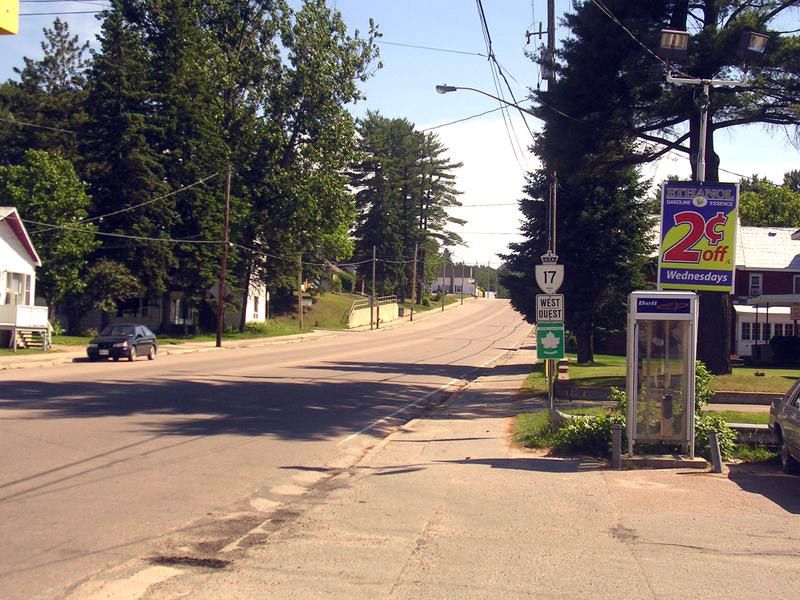
The Trans-Canada Highway (TCH) is not a single, federally controlled roadway but a network of highways under provincial and territorial jurisdiction. Highway construction and maintenance are the responsibility of individual provinces, which also determine route numbering within their boundaries. This results in a patchwork of designations across the country. In Western Canada, coordination has led to a uniform designation of Highway 1 for the main route from British Columbia to Manitoba, and Highway 16 for the Yellowhead Highway. East of Manitoba, the numeric designation changes at each provincial boundary, with the route often following existing provincial highways. Ontario and Quebec use standard provincial shields for numbering but also post distinctive, numberless Trans-Canada Highway markers to identify the route. The system's incorporation of pre-existing roads makes a single, uniform designation across Canada unlikely.
The entire network, including all main and spur routes, totals approximately 12,800 kilometres in length. It is built to widely varying design standards, reflecting its evolution over decades and differing provincial priorities. While some portions are modern divided freeways, the majority of the system consists of two-lane, undivided highways. The Trans-Canada Highway forms a core component of Canada's National Highway System (NHS), a strategic network of important roads. The NHS includes other routes that connect to the three northern territories and to the United States border. These connections are essential for national transportation but are not part of the Trans-Canada Highway itself. The decentralized nature of the system means there is no national plan for its uniform upgrade.
The Main Route from Coast to Coast
The primary Trans-Canada Highway route begins at a 'Mile 0' plaque in Victoria on Vancouver Island. It travels north to Nanaimo, crosses the Strait of Georgia via ferry, and traverses the Vancouver metropolitan area before heading east through the Fraser Valley. The route turns north through the Fraser and Thompson Canyons toward Cache Creek and Kamloops. It crosses two major high passes: Rogers Pass in Glacier National Park and Kicking Horse Pass in Yoho National Park. Kicking Horse Pass, at an elevation of 1,627 metres, is the highest point on the entire Trans-Canada Highway system and marks the British Columbia-Alberta border. The highway then proceeds through Banff National Park to Calgary, across the prairies through Regina, and into Manitoba, passing Brandon and Portage la Prairie before reaching Winnipeg.
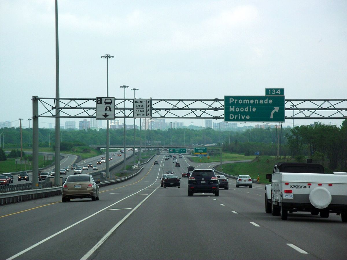
East of Winnipeg, the highway enters Ontario where its designation changes to Highway 17. It winds through the forested Canadian Shield of Northern Ontario, passing Kenora, Dryden, and Thunder Bay, then follows the north shore of Lake Superior to Sault Ste. Marie and Sudbury. From North Bay, the route continues southeast, becoming Highway 417, a freeway into Ottawa. In Quebec, the highway follows Autoroute 40, Autoroute 25, and Autoroute 20, crossing the St. Lawrence River via the Louis-Hippolyte Lafontaine Bridge-Tunnel near Quebec City, then continues as Autoroute 85 and Route 185 toward New Brunswick. This routing through Quebec was established to connect major population centres while handling the province's geography. The route avoids the densely populated island of Montreal to maintain a more direct transcontinental path.
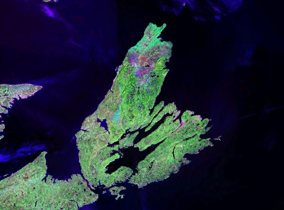
Upon entering New Brunswick, the route becomes Route 2, following the Saint John River Valley through Edmundston, Fredericton, and Moncton. It crosses into Nova Scotia as Highway 104, passes through Amherst and Truro, crosses onto Cape Breton Island via the Canso Causeway, and ends at the Marine Atlantic ferry terminal in North Sydney. A ferry connects the highway to Newfoundland, where it is designated Highway 1 for its 905-kilometre journey across the island. The route passes through Corner Brook and Gander before terminating at an intersection with Outer Bay Road and Logy Bay Road in St. John's. Key divided sections in Newfoundland exist near Corner Brook, Grand Falls-Windsor, Glovertown, and on the 75-kilometre stretch from Whitbourne to St. John's. The majority of the highway in Newfoundland, however, remains a two-lane road, reflecting the island's lower population density.
Major Alternate Routes and Spurs
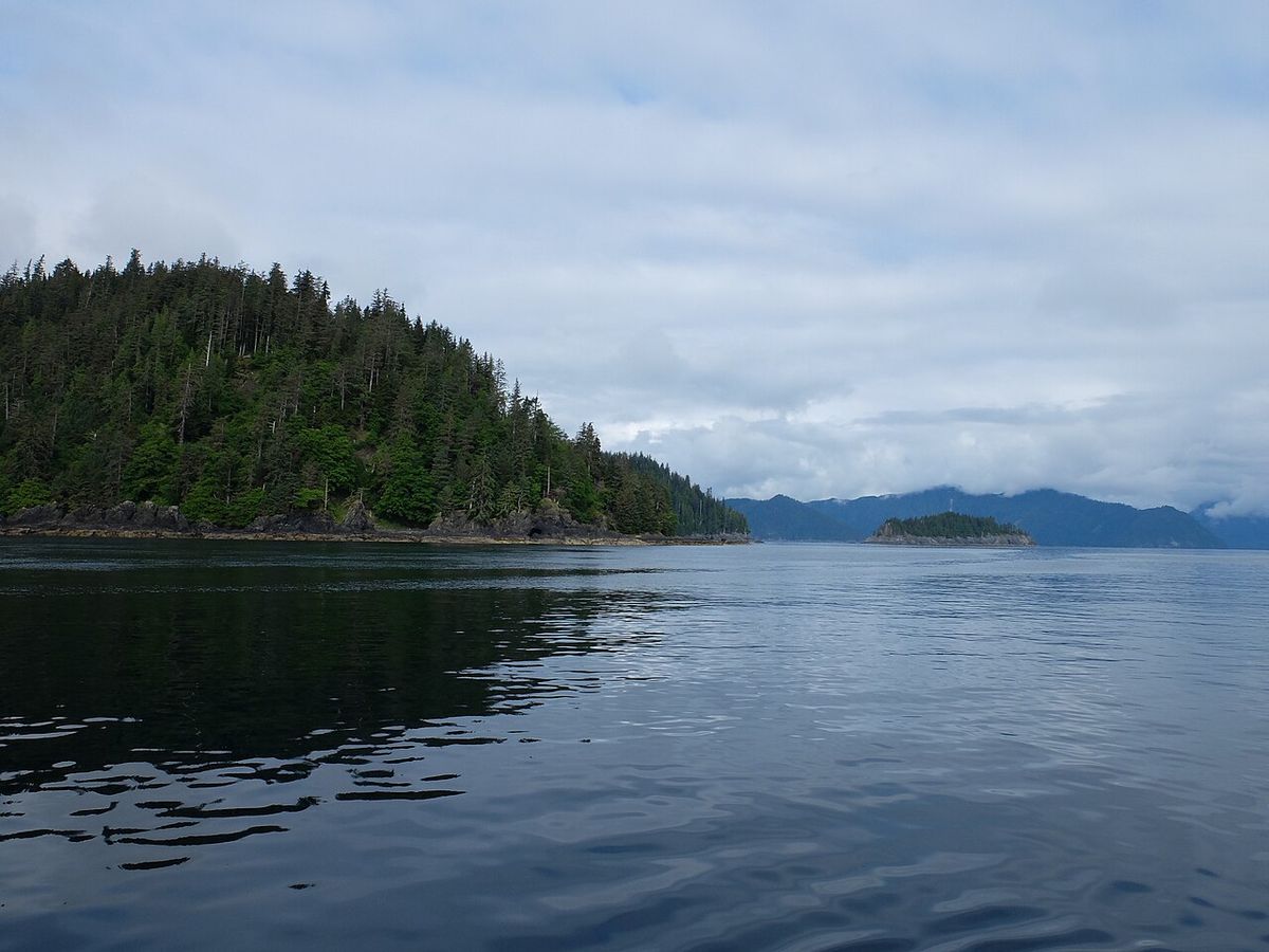
Beyond the main coast-to-coast corridor, several significant alternate routes are designated as part of the Trans-Canada Highway system. The largest of these routes is the Yellowhead Highway, which runs from Haida Gwaii, British Columbia, to Portage La Prairie, Manitoba. Other key alternate routes include a northern Ontario and Quebec route, a central Ontario or Georgian Bay route, and a Prince Edward Island spur. These routes connect to the main route at numerous points and provide important regional connections across the country. They were incorporated into the system to serve different travel needs and geographic areas, offering drivers scenic or more direct options depending on their destination.
- Yellowhead Highway (Highway 16): This 2,859-kilometre route runs from Masset on Haida Gwaii, British Columbia, to Portage la Prairie, Manitoba, passing through Prince George, Edmonton, Lloydminster, and Saskatoon. It provides a more northerly route across the prairies compared to the main Highway 1 corridor.
- Northern Ontario Routes: Sections of Highway 17 and Highway 11 between Kenora and North Bay are part of the TCH, providing a northern alternate through areas like Fort Frances. A shorter section of Highway 66 connects to Quebec Highway 117, which continues the TCH route to Montreal. This network offers alternatives through the sparsely populated Canadian Shield.
- Southern Ontario/Georgian Bay Route: This 671-kilometre alternate between Sudbury and Ottawa uses several provincial highways, passing closer to population centres like Orillia and Peterborough but avoiding Toronto. It consists of a mix of freeways, expressways, and two-lane routes.
- Prince Edward Island Spur: This 234-kilometre route splits from the mainline in New Brunswick as Route 16, crosses the Confederation Bridge, traverses Prince Edward Island through Charlottetown on Highway 1, and returns to the mainland via ferry to connect with Nova Scotia Highway 106. It is a vital link for island tourism and commerce.
- Major Bypasses: Key urban bypasses include the 42-kilometre Perimeter Highway 100 around Winnipeg and the 34-kilometre Kenora Bypass (Highway 17A). These routes help through traffic avoid city congestion.
Historical Development and Construction
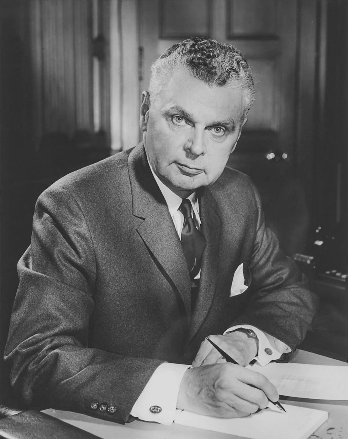
The concept of a national highway followed earlier transportation corridors, with much of the main route tracing the path of the Canadian Pacific Railway. Prior to the TCH, cross-country travel relied on a patchwork of provincial roads, many of which were gravel, such as the Big Bend Highway in British Columbia and the developing Highway 17 across Northern Ontario. The project was enabled by the federal Trans-Canada Highway Act of 1949, with construction beginning in 1950. The highway was officially opened in 1962 by Prime Minister John Diefenbaker upon the completion of the paved Rogers Pass section in British Columbia, which bypassed the last major gravel section. This made it the world's longest uninterrupted highway at the time. Construction continued on other segments, with the final gap on the Yellowhead Highway east of Prince George completed in 1971, marking the network's completion.
When the Trans-Canada Highway first opened, it was almost exclusively a two-lane route for its whole length across the country. It was soon believed to be insufficient to handle the growing traffic volumes. In response, several provinces began to construct realignments, freeway widenings, and twin sections of highway. In British Columbia, the Upper Levels Freeway alignment was opened in 1960 through Metro Vancouver, allowing the highway to bypass downtown Vancouver's streets. The following are key upgrade projects from the 1960s to 1990s that transformed parts of the route into higher-capacity corridors. These projects were often driven by provincial initiatives to improve safety and accommodate increasing commercial and passenger traffic.
- 1960: The Upper Levels Freeway alignment opened in Metro Vancouver with the Second Narrows Crossing.
- 1962 to 1964: Highway 1 was rerouted onto a new four-lane freeway bypass between Vancouver and Chilliwack.
- 1986: The Coquihalla Highway opened, providing a faster freeway alternative to the Fraser Canyon section.
- 1986: A freeway alignment between Chilliwack and Hope opened.
- 1990: The Cassiar Tunnel opened, bypassing the last traffic signals in Vancouver and making the Lower Mainland alignment a full freeway.
Recent changes include the opening of the 13-kilometre Confederation Bridge in 1997 and the completion of twinning in Alberta's Banff National Park in 2014. In 2012, a series of free public electric vehicle charging stations were installed along the main route, making it the longest electric-vehicle-ready highway in the world at that time. These developments illustrate the ongoing evolution of the highway to meet new transportation needs. Upgrades have continued into the 21st century with projects like the Regina Bypass opening in 2019.
Engineering and Geographic Highlights
The Trans-Canada Highway crosses Canada's diverse and often challenging geography, requiring significant engineering to cross major barriers. The route traverses coastal rainforests, mountain ranges, vast prairies, the rugged Canadian Shield, and Appalachian highlands. Its highest point is at Kicking Horse Pass in the Rocky Mountains, which also serves as the Continental Divide. The highway passes through multiple national parks, including Banff, Yoho, and Glacier, where design considerations often balance transportation needs with environmental protection. Major water crossings are a defining feature, from the ferry routes across the Strait of Georgia and the Cabot Strait to Newfoundland, to the fixed links like the Confederation Bridge to Prince Edward Island and the Louis-Hippolyte Lafontaine Bridge-Tunnel over the St. Lawrence River. These crossings represent some of the most complex and expensive infrastructure on the route.
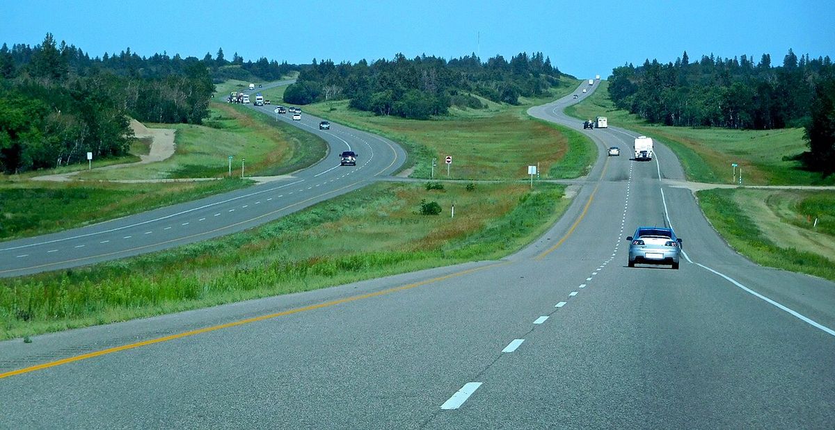
The engineering standards vary dramatically along the route. The longest continuous divided highway segment runs for approximately 1,500 kilometres from the Rocky Mountains to the Manitoba-Ontario border. In contrast, many sections through Northern Ontario and Newfoundland remain two-lane roads with occasional passing lanes. Urban sections, such as Highway 417 near Ottawa or the Regina Bypass, are built to full freeway standards with interchanges and limited access. The system's design reflects its incremental construction and the differing traffic volumes and terrains encountered across its continental span. This hybrid nature is a defining characteristic of the Trans-Canada Highway, setting it apart from uniformly built highway systems in other countries. Over half of the mainline still consists of its original two-lane configuration.
Economic and Cultural Significance
The Trans-Canada Highway is a critical economic corridor, facilitating the movement of goods and people across the country. It provides a vital link for the trucking industry, connecting major ports, manufacturing centres, and resource regions. The highway is also a major tourist route, enabling recreational travel and providing access to countless national and provincial parks, historic sites, and communities. It has shaped regional development, with towns along its path often thriving as service centres, while bypass projects like the Coquihalla Highway have redirected economic activity. The opening of new routes has historically led to economic booms for some towns and decline for others.
The highway's presence has been a factor in the growth of cities like Calgary, Kamloops, and Moncton as transportation hubs. Culturally, the Trans-Canada Highway is a powerful symbol of Canadian unity and ambition, physically binding the disparate provinces together. It has inspired literature, music, and film, representing the classic Canadian road trip. The distinctive white-and-green Trans-Canada Highway shield is a recognizable icon for travellers. The highway also plays a practical role in daily life, serving as the main street for hundreds of communities and as an essential link for remote regions. Its evolution from a rough two-lane road to a partially modernized network mirrors Canada's own development over the latter half of the 20th century. It remains a central feature in the nation's identity and infrastructure.
Current Status and Future Considerations
Today, the Trans-Canada Highway system remains a work in progress, with provinces continuously undertaking projects to upgrade segments, improve safety, and alleviate congestion. Priorities differ regionally, from twinning projects in high-crash areas of Newfoundland and New Brunswick to adding new interchanges in growing urban corridors like Calgary. The mix of road types presents ongoing challenges, as heavy truck traffic and tourist vehicles share two-lane sections with limited passing opportunities. Safety improvements, such as centreline rumble strips and more frequent passing lanes, are common upgrades. Environmental considerations, such as building wildlife overpasses in mountainous and forested regions, are increasingly part of highway planning.
The integration of the highway network with other modes of transport, including ferries and railways, remains a unique characteristic of the system. Future development will likely focus on further selective twinning, bypass construction around growing towns, and technological upgrades for smarter transportation management. However, the sheer cost and geographic challenges of fully upgrading the entire route to a divided freeway standard are prohibitive. The Trans-Canada Highway will continue to exist as a hybrid system, a reflection of both Canada's vast geography and the pragmatic, province-led approach to maintaining this essential national infrastructure. There is no federal plan for a comprehensive limited-access conversion due to low traffic levels on many remote sections.
Specific future projects include Quebec completing Autoroute 85, Ontario upgrading Highway 69 to a freeway and twinning Highway 17 near Kenora, Manitoba twinning the last section of Highway 1 west of the Ontario border, and British Columbia planning to widen the section between Kamloops and Alberta to four lanes by 2050. Edmonton aims to convert its urban section of Highway 16 to a six-lane freeway by 2026. These projects highlight the decentralized, long-term nature of improvements to the Trans-Canada Highway system. The pace of upgrades depends on provincial funding and the specific engineering challenges of each segment.
Questions about Trans-Canada Highway
Is the Trans-Canada Highway one continuous freeway?
No, the Trans-Canada Highway is not a continuous freeway. It is a system of highways built to varying standards. While significant portions, such as a 1,500-kilometre segment from the Rockies to the Ontario border and urban sections around major cities, are divided freeways, the majority of the network consists of two-lane, undivided highways. The route also includes ferry crossings at the Strait of Georgia and to Newfoundland.
How long is the Trans-Canada Highway?
The main route of the Trans-Canada Highway travels 7,821 kilometres between Victoria, British Columbia, and St. John's, Newfoundland and Labrador. This makes it one of the longest routes of its type in the world. The entire system, which includes all designated alternate and spur routes, totals a distance of approximately 12,800 kilometres. The largest of these alternate routes is the Yellowhead Highway, which is 2,859 kilometres long and runs from Haida Gwaii, British Columbia, to Portage La Prairie, Manitoba.
What is the highest point on the Trans-Canada Highway?
The highest point on the whole Trans-Canada Highway system is Kicking Horse Pass, located in Yoho National Park. The elevation at the pass is 1,627 metres. This high pass marks the boundary between British Columbia and Alberta and also the Continental Divide of the Americas. The pass is situated between Yoho and Banff National Parks along the main route of the highway.
Why does the highway number change across the country?
The highway number changes because highway construction and maintenance are entirely under the jurisdiction of the individual provinces. The provinces handle route numbering on the Trans-Canada Highway. The Western provinces have voluntarily coordinated so the main route is designated Highway 1 from British Columbia to Manitoba. East of Manitoba, the numbers change at each provincial boundary or within a province as the Trans-Canada Highway follows separate provincial highways.
When was the Trans-Canada Highway built and completed?
Construction of the main route started in 1950 following the signing of the Trans-Canada Highway Act. The highway was officially opened by Prime Minister John Diefenbaker in 1962 with the completion of the Rogers Pass section in British Columbia. Construction of the entire route network was not finished until 1971, when the final gap on Highway 16 east of Prince George was completed. This made the Trans-Canada Highway the longest uninterrupted highway in the world at the time of its opening in 1962.
What are the major alternate routes of the Trans-Canada Highway?
The largest alternate route is the Yellowhead Highway, which is 2,859 kilometres long and runs from Masset, British Columbia, to Portage la Prairie, Manitoba, designated as Highway 16. Another major route is in Northern Ontario, where the section of Highway 17 and Highway 11 between Kenora and North Bay is part of the Trans-Canada Highway. A southern Ontario route is a 671-kilometre alternate between Sudbury and Ottawa using several different provincial highways. A Prince Edward Island spur route splits off in New Brunswick as Route 16, crosses the 13-kilometre Confederation Bridge, and uses Highway 1 across the island for a total of 234 kilometres.
Sources: Wikipedia and current public reporting, checked by the Nosy Mag desk. Last updated 2026-10-26.