Canada Braces for Historic 'Super' El Niño With Widespread Climate Impacts
Meteorologists warn a record-strength El Niño could bring extreme weather, drought risks, and temperature swings across Canada through 2027.
A potentially historic El Niño climate pattern is intensifying over the Pacific Ocean, setting the stage for significant weather disruptions across Canada through the winter of 2026-2027 and into the following spring. This developing weather phenomenon has drawn particular attention from climate scientists due to its unusually rapid formation and potential to become one of the strongest events ever recorded in modern meteorological history.
Unprecedented Warming Patterns Emerge
The current El Niño event has distinguished itself through its accelerated development since spring, catching forecasters off guard with its swift intensification. CityNews chief meteorologist Natasha Ramsahai explains that the National Oceanic and Atmospheric Administration (NOAA) models indicate this event could potentially exceed the previous record set during the 1982-1983 El Niño, when sea surface temperatures reached 2.4°C above average. Current projections suggest even more dramatic warming, with some models forecasting Pacific waters may heat up by 3-4°C this winter in the crucial monitoring zone between South America and the International Date Line.
"We've had such a rapid transition that the forecast models can't even keep up," Ramsahai observed, highlighting the system's extraordinary growth rate. By August, measurements already showed temperatures ranging between 1.89-2°C above average in the critical Pacific monitoring area. NOAA officially classifies an El Niño as 'super' when temperatures surpass 2°C above normal in this region. Current probability estimates indicate a greater than 90% chance of this pattern peaking during the coming winter months, with potential persistence through May 2027.
Regional Weather Impacts Across Canada
The meteorological effects of this developing El Niño will vary significantly across Canada's diverse regions. Western Canada and the Prairie provinces face particularly severe consequences, where the anticipated warm and dry conditions threaten to dramatically reduce winter snow accumulation. These snowpacks typically serve as vital natural reservoirs, slowly releasing water during spring melt to replenish rivers, lakes, and groundwater systems.
"That means a reduction in snow melt, a reduction in insulation, and an increase in wildfire and drought risk," Ramsahai explained, outlining the cascading ecological effects. Some areas may experience winters with little to no snow cover, exacerbating existing water scarcity issues that have plagued these regions in recent years. The drought conditions could extend well into the spring and summer of 2027, creating challenging conditions for agriculture, forestry, and municipal water supplies.
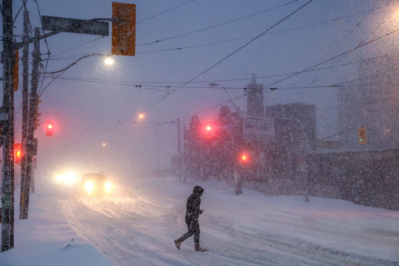
Eastern Canada will experience different but equally significant impacts. Quebec and most Maritime provinces may actually encounter cooler-than-average conditions this winter, while Southern Ontario prepares for a volatile mix of weather phenomena. The region could see increased instances of freezing rain, flooding events, and pronounced temperature fluctuations. These conditions might lead to a compressed winter season with multiple implications - shortening traditional ski seasons while potentially extending Great Lakes shipping periods due to reduced ice formation.
Economic and Environmental Consequences
The impending weather shifts carry substantial implications for multiple sectors of Canada's economy. Agricultural producers in Western Canada face potential water shortages that could strain irrigation systems and reduce pasture quality, potentially impacting both crop yields and livestock operations. Forestry officials are preparing for the possibility of an early and intense wildfire season given the anticipated dry conditions, while hydroelectric operators may need to adjust their output expectations with reduced snowmelt feeding reservoirs and rivers.
In Ontario, the construction and transportation sectors might benefit from fewer extreme cold days, though infrastructure managers warn about accelerated road deterioration from frequent freeze-thaw cycles. The specialty agriculture sector, particularly maple syrup and ice wine producers, faces uncertainty as these industries rely on specific temperature patterns that may not materialize this winter. The Great Lakes-St. Lawrence shipping corridor could see an extended operating season if ice cover remains minimal, potentially providing economic advantages to bulk commodity exporters.
Global Climate Connections
El Niño events develop through complex interactions between ocean and atmospheric systems. Ramsahai explained the underlying mechanism: "When those trade winds are strong, they blow the hottest of the water in the Pacific westward allowing cooler water to upwell from below near South America. When those winds relax, that hot water starts flooding back... and that hot water pool sits through the middle and eastern parts of the Pacific." The temperature differential from average in this warm water mass determines the strength of the El Niño episode.
This natural climate phenomenon alternates irregularly every 2-7 years with its cooler counterpart, La Niña, through the El Niño-Southern Oscillation (ENSO) cycle. The current event's exceptional intensity magnifies its potential to override other climate patterns, including long-term warming trends. One temporary benefit has emerged in Atlantic Canada, where the El Niño pattern appears to be suppressing hurricane formation. As of mid-September, no major hurricanes had developed - marking one of the latest starts to the season since satellite monitoring began in 1966. Historical comparisons show that in 2002 and 2013, the first major hurricanes arrived on September 11, demonstrating how El Niño can delay tropical storm activity.
Long-Term Implications and Climate Context
This developing climate event represents more than just an unusually warm winter for Canada. The potential "super" El Niño magnitude places it among rare weather phenomena with the capacity to amplify existing environmental vulnerabilities. Western Canada's compounding drought risks could test water management systems already strained by prolonged dry periods, while Ontario's volatile precipitation patterns may challenge urban flood controls designed for more predictable seasonal variations.
The event also provides a significant case study in how short-term climate variability interacts with long-term global warming trends. While El Niño occurs naturally, emerging research suggests climate change may be influencing the frequency and intensity of extreme ENSO events. The way communities, industries, and governments respond to this winter's disruptions could offer valuable insights for building resilience against future climate shocks - whether from El Niño, La Niña, or the broader planetary warming trend that continues to reshape Canada's environmental future.
Monitoring and Preparedness
As the El Niño continues to develop, meteorologists emphasize the importance of ongoing monitoring and adaptive planning. The NOAA forecast suggests the event will likely reach its peak intensity during the winter months, but its effects could persist well into 2027. Ramsahai noted that the temperature difference from average in the Pacific's warm water pool ultimately determines the strength of the El Niño episode and its global impacts on temperature and precipitation patterns.
This climate event serves as a reminder of the complex interplay between natural variability and anthropogenic climate change. While the immediate focus remains on preparing for the coming winter's potential impacts, the longer-term challenge involves understanding how these periodic phenomena might evolve in a warming world and what that means for Canada's climate future.